Map & Topographic Model Makers
3D map and terrain models that put a site in its landscape.
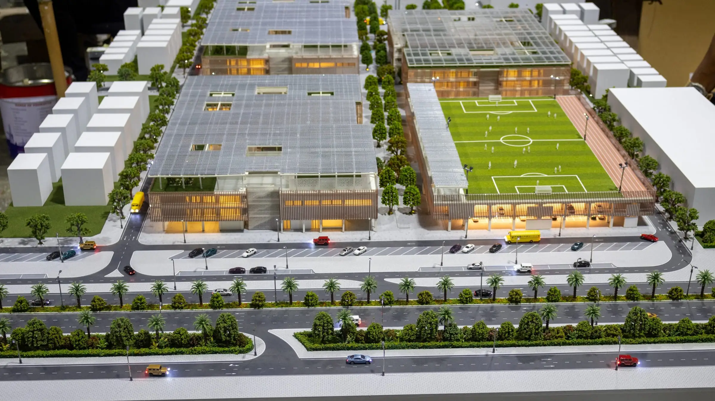
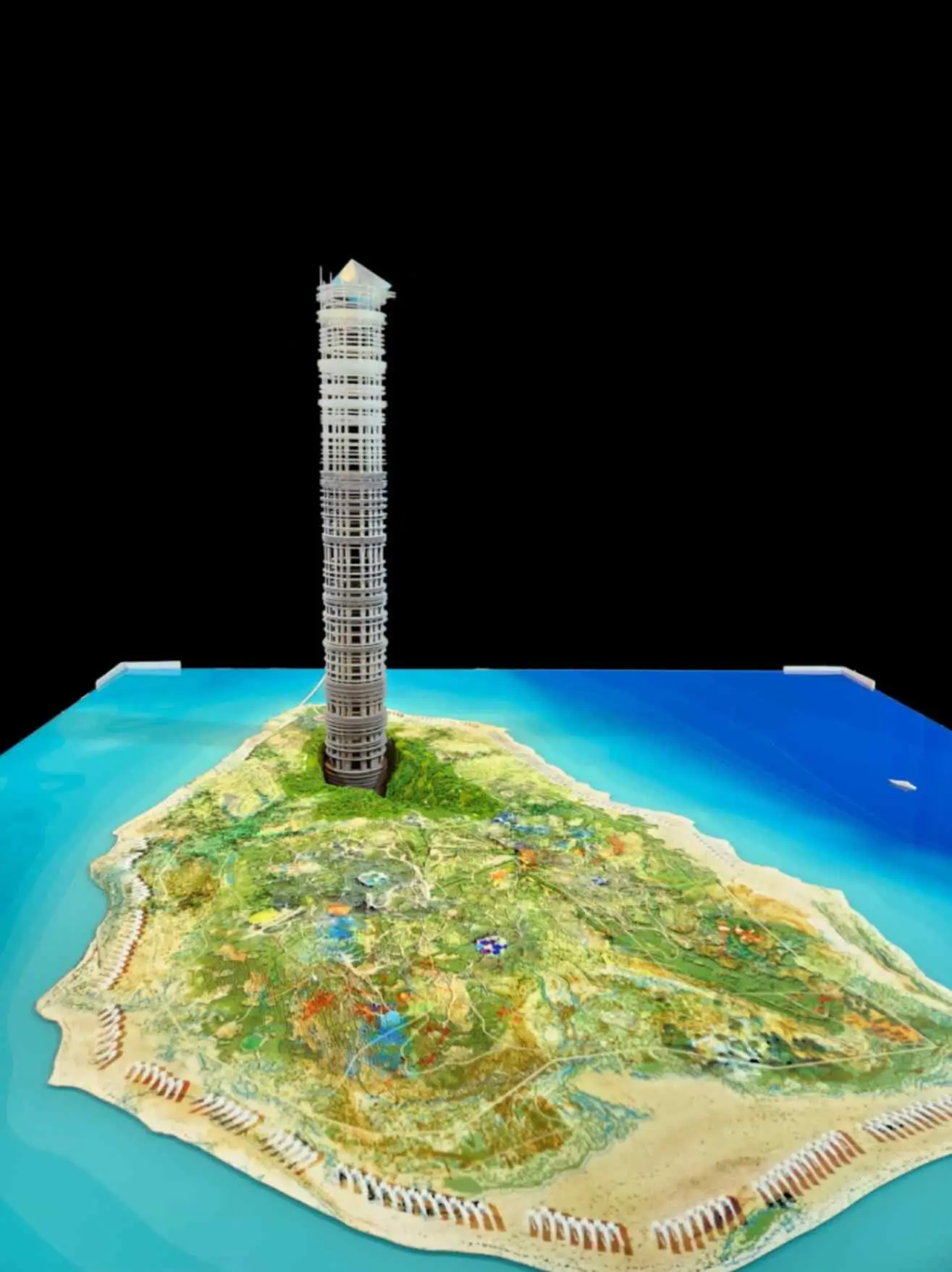
Some projects are defined by the land they sit on: an island, a coastline, a hillside or an entire city district. A topographic model shows landform, water and context in three dimensions, so the relationship between a project and its surroundings is obvious at a glance.
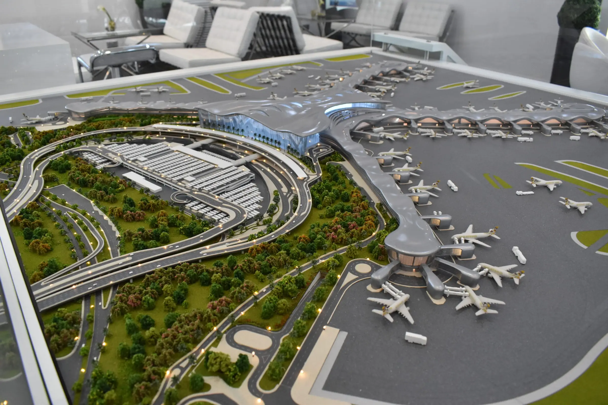
We produce 3D map models, terrain models and site plan models from your survey information and drawings. The landform is built up accurately to scale, then finished with colour, vegetation, water and roads.
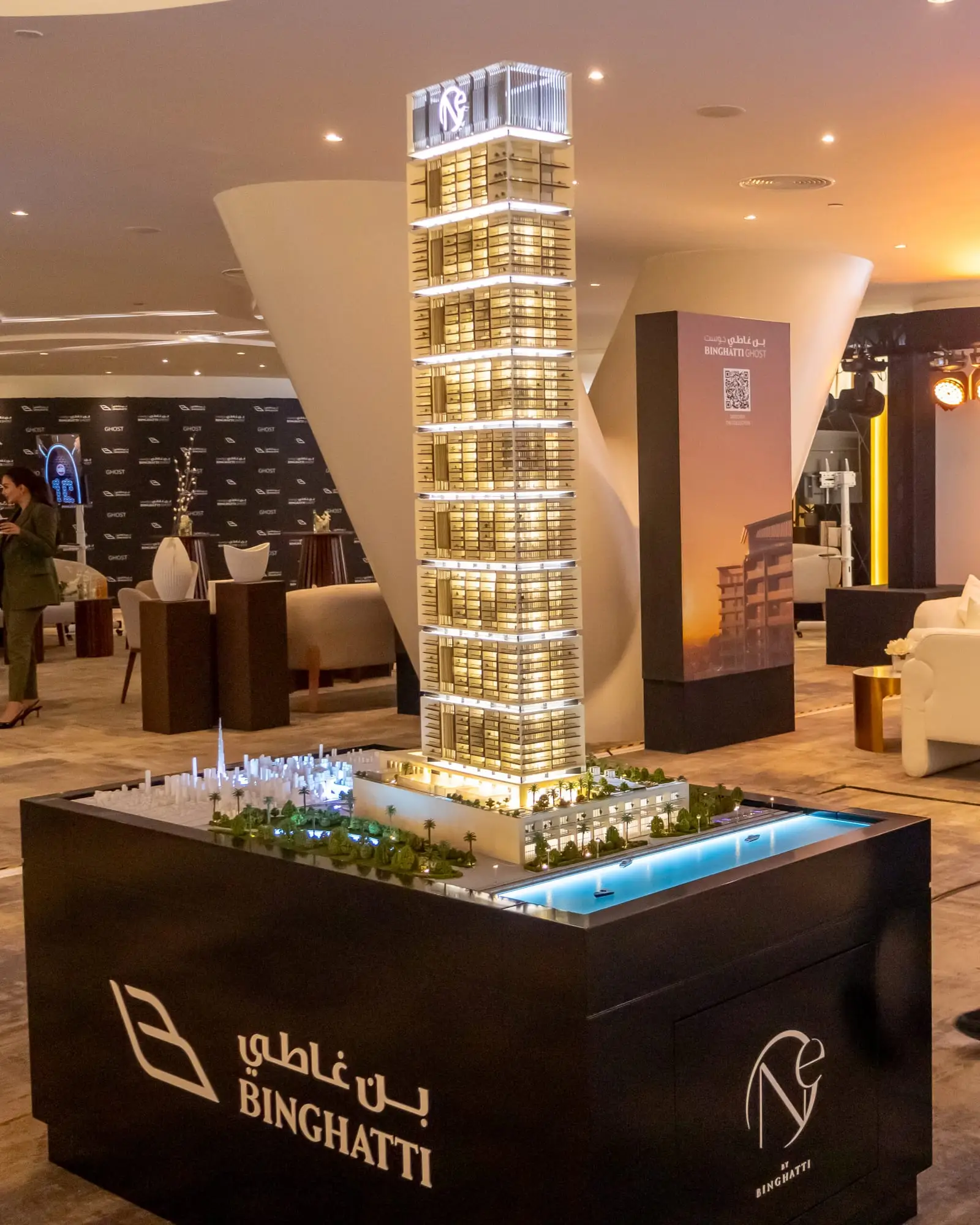
These models work on their own as maps, or as the base for an architectural or masterplan model that sits within them.
Map & Topographic Models
Where our map and topographic models are used.
Site and context models
The land around a project modelled to scale, so its setting and approach are easy to understand.
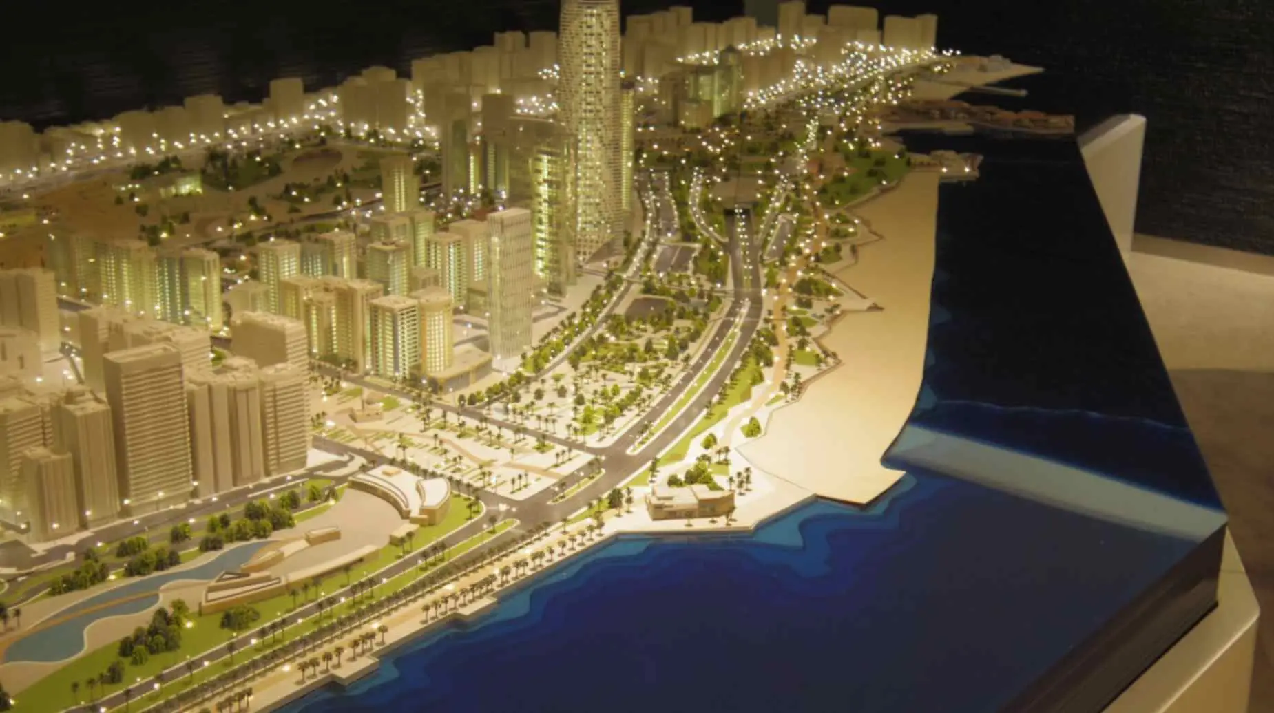
City and district maps
Three-dimensional maps of districts and cities for planners, authorities and visitor displays.
Islands, coastlines and waterfronts
Shorelines, water and terrain reproduced as the setting for the buildings on them.
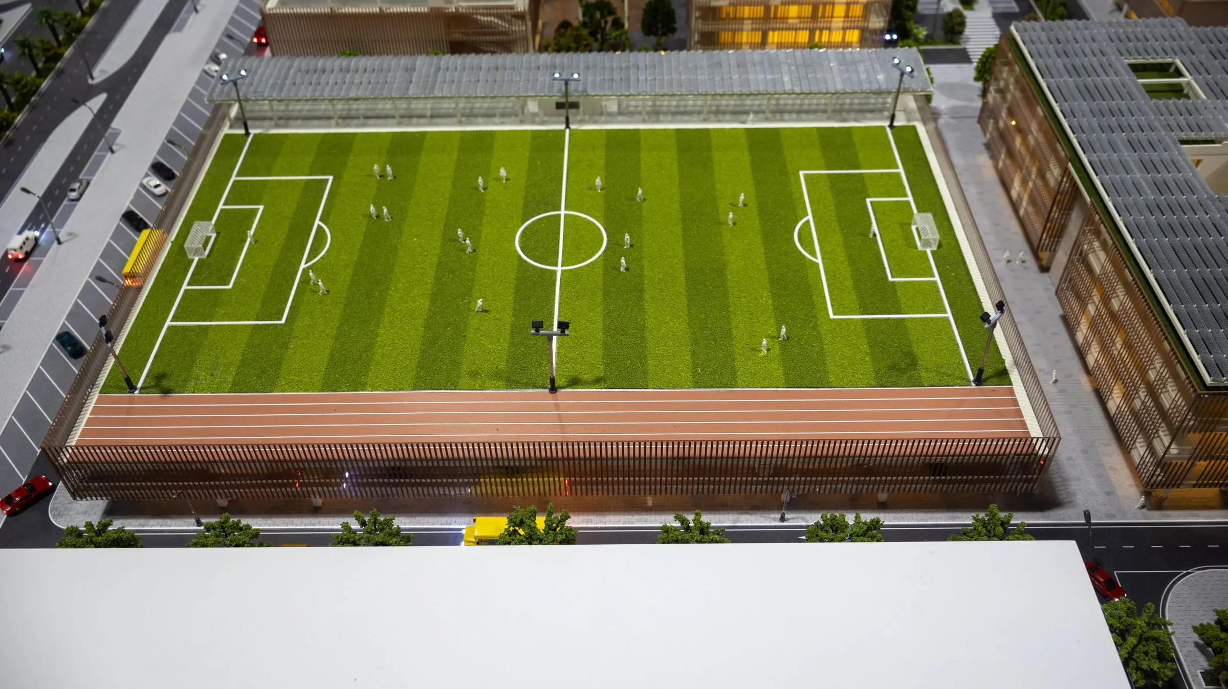
Site plan models
Plots, roads and landscape laid out clearly for planning and sales conversations.
How We Build
How a map or topographic model comes together.
- Built from your survey information, site plans and drawings
- Landform reproduced accurately to an agreed scale
- Water, vegetation and roads finished by hand
- Buildings added at the level of detail the model needs
- Lighting to pick out routes, plots or landmarks where required
- Packed, transported and installed by our logistics team
Projects
Map & Topographic Models from our portfolio.
Developers and authorities in our client network.






Related industries and model types.
Ready to experience 3d printing excellence?
Get in touch with us. Connect with G3D Models and start your next project with ease.